
PostGIS: Free Open Source Spatial Database

PostGIS is a powerful open source spatial database extension that transforms PostgreSQL into a full featured geographic information system. It enables the storage, indexing, and querying of spatial data such as points, lines, and polygons, making it a core component of many modern GIS, mapping, and location based applications.
Because it is free, standards compliant, and production ready, PostGIS is widely used by governments, research institutions, startups, and large enterprises alike.
PostgreSQL extension
PostGIS is implemented as an extension to PostgreSQL, one of the most reliable and feature rich relational databases available. By installing the PostGIS extension, PostgreSQL gains support for spatial data types like geometry and geography, along with spatial indexes based on GiST and SP GiST. This tight integration means you can manage spatial data using standard SQL while benefiting from PostgreSQL features such as transactions, replication, security roles, and backup tools.
Learn the basics with the official workshop
The PostGIS project provides an excellent official workshop that serves as a practical introduction to spatial databases. It covers core concepts such as coordinate reference systems, spatial data types, indexing, and simple spatial queries.
The workshop is designed for hands on learning and can be followed locally using sample datasets. For newcomers, this is one of the most efficient ways to build a solid foundation and understand how PostGIS fits into real world workflows.
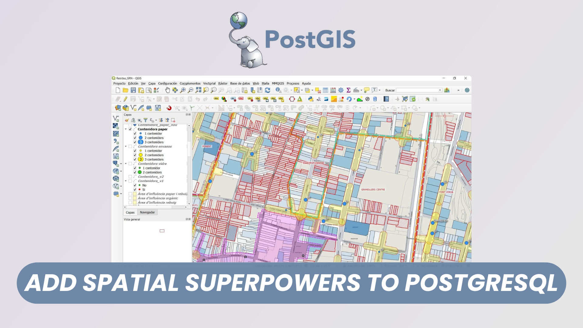
Browsing Spatial Data with QGIS
QGIS is a popular open source desktop GIS application that integrates seamlessly with PostGIS. By connecting QGIS directly to a PostGIS database, you can browse spatial tables, visualize geometries on a map, edit features, and inspect attribute data. This makes QGIS an ideal companion tool for database developers and analysts who want to visually validate data or perform exploratory spatial analysis without writing SQL for every task.
Extra Geometry Layers with PostGIS extension
PostGIS provides additional geometry related capabilities beyond basic storage. Extensions such as postgis raster and topology enable advanced use cases including raster data processing and topological models. These extra layers allow users to represent elevation models, satellite imagery, or network structures directly in the database. This approach centralizes spatial logic and reduces the need for external processing pipelines.
Spatial Query Functions with PostGIS
One of the greatest strengths of PostGIS is its extensive library of spatial functions. These functions allow you to perform operations such as distance calculations, intersection tests, buffering, and coordinate transformations using SQL. Examples include finding all features within a given radius, checking whether geometries overlap, or calculating areas and lengths. Because these queries run inside the database and use spatial indexes, they are both expressive and performant.
Conclusion
PostGIS is a mature, robust, and freely available spatial database solution that builds on the strengths of PostgreSQL. Its rich feature set, strong standards compliance, and integration with tools like QGIS make it suitable for a wide range of spatial applications. Whether you are learning GIS fundamentals or building large scale location based systems, PostGIS offers a reliable and future proof foundation for managing spatial data.