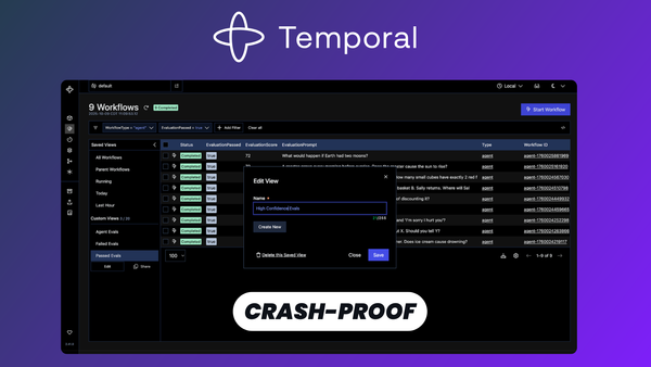
Most backend code assumes the happy path. You call an API, write to a database, send an email, and move on. Then the process crashes halfway through, the network times out, or a third-party service returns a 503, and suddenly you're writing retry loops, idempotency keys, status